
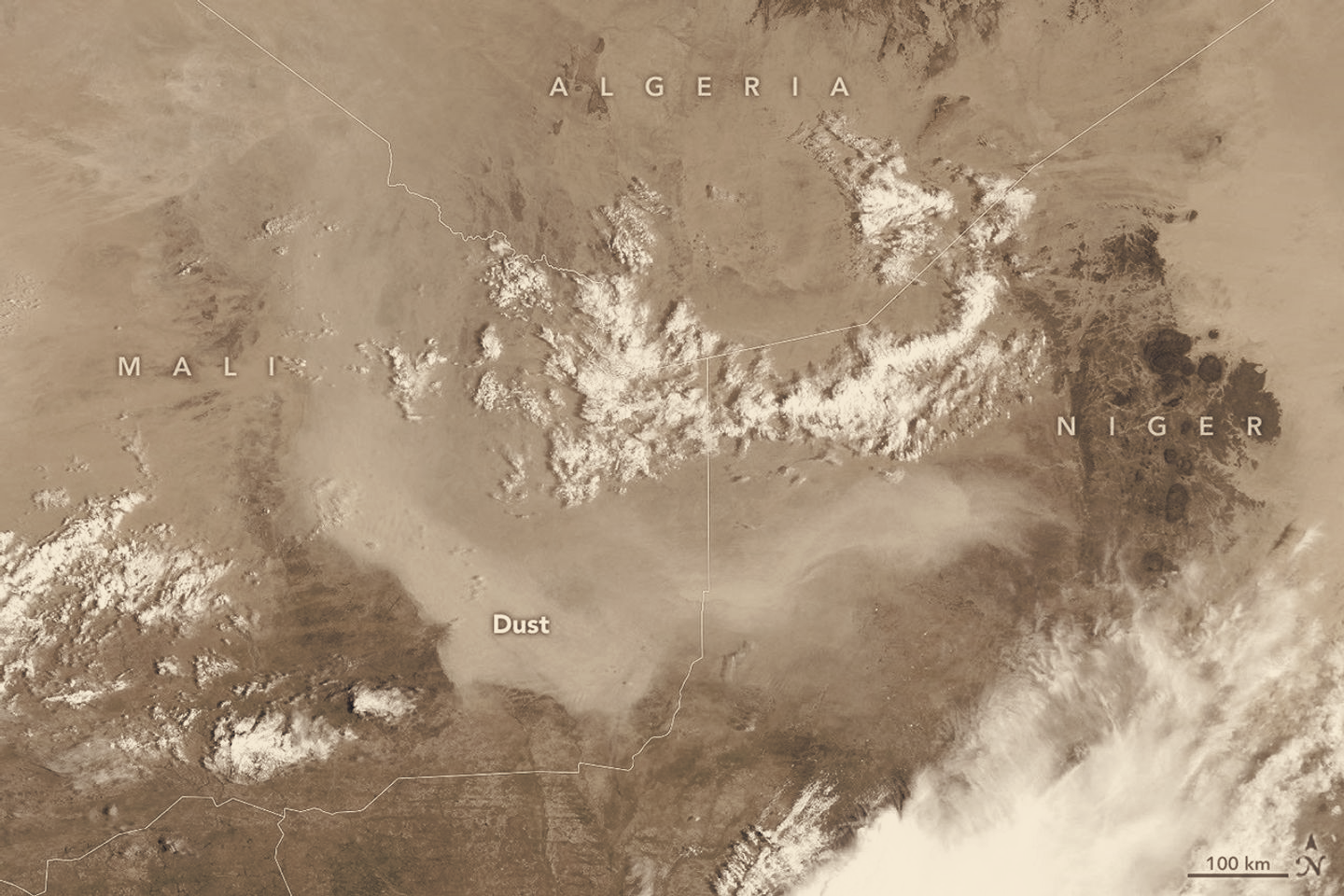
Atmospheric scientist Tianle Yuan of NASA’s Goddard Space Flight Center said storms like this are often tied to haboobs, intense dust storms driven by strong convective downdrafts. Satellite observations in the days after the image was taken showed aerosols advecting westward and spilling over the Atlantic, but analysts judged a complete transatlantic transport of the plume unlikely for early September.
Full crossings of Saharan dust are more typical from late spring through summer, when the Saharan Air Layer rises high enough to carry dust thousands of miles toward the Americas. By late summer and into September the elevated transport weakens, even though localized convective outbreaks can still loft large amounts of sediment from the surface.
Yuan noted the developing El Niño adds uncertainty to future dust behavior across the Sahel and Mali. He described how El Niño can shift the position of the Intertropical Convergence Zone and change convection patterns, producing competing effects: drier conditions can leave more sediment available to be lifted, while reduced convective activity can mean fewer strong haboobs. “The connection can be real,” Yuan said, “but hard to pin down for individual events.”
The satellite image was produced by Lauren Dauphin using MODIS data from NASA’s EOSDIS LANCE and GIBS/Worldview. Continued monitoring by low-earth-orbit sensors will be needed to track how seasonal winds and the emerging El Niño combine to shape dust transport in the coming months.