
Coastal communities and industries such as shipping stand to gain earlier, more accurate warnings because two Sentinel-6 satellites are delivering continuous measurements of sea surface height and ocean heat during a strong El Niño. Sentinel-6B, launched last November, now follows its predecessor, Sentinel-6 Michael Freilich, by roughly 30 seconds. That formation produces near-continuous, high-precision observations of sea surface height, wave height and marine wind speed that oceanographers say clarify how ocean heat distribution links to changing sea levels.
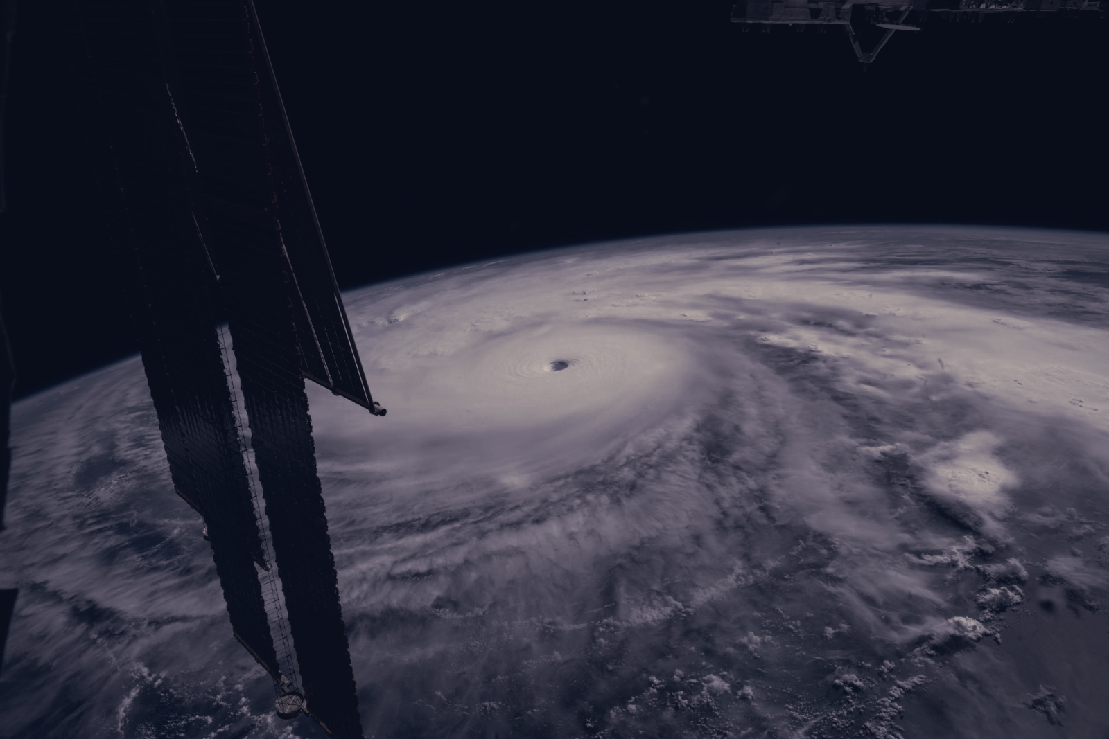
On July 15, Sentinel-6B began transmitting low-latency observations that meteorologists and climate researchers can ingest into forecasting models. Those inputs are used in hurricane-tracking algorithms run by federal and state agencies and can inform preparatory measures ranging from sandbagging to evacuation orders and, for major storms, the mobilisation of agencies including FEMA. Rapid hurricane intensification frequently occurs within 48 hours of landfall, making fresher ocean-heat and sea-level data especially valuable for narrowing the window for critical decisions.
“This El Niño was a late-bloomer,” said Josh Willis, Sentinel-6B’s project scientist at NASA’s Jet Propulsion Laboratory. “It didn’t kick off until the middle of the year and is just now reaching a strength similar to what we’ve seen in the satellite record during significant El Niños in 1997 and 2015. We expect it to be big, and it’s already having big impacts.”
Deirdre Byrne, an oceanographer and altimetry expert at NOAA who oversees the Satellite Ocean Heat Content Suite, highlighted the operational stakes. “Hurricanes have been known to speed up quickly at the last moment, so the window in which to decide what to do is short,” she said. Byrne plans to begin adding Sentinel-6 ocean height measurements into that algorithm by the end of the year, a move that shifts the data from research use toward routine operational forecasting.
Each Sentinel-6 satellite carries a radar altimeter that times thousands of pulses reflecting off waves to determine ocean height, plus a GNSS-RO instrument that samples atmospheric humidity, pressure and temperature. The mission continues a continuous sea-level record that began with TOPEX/Poseidon in 1992, and Sentinel-6B is scheduled to assume the role of reference satellite for global sea level later this year. “The key is consistency, measuring the same way, every time,” said Severine Fournier, deputy project scientist at JPL.
The Copernicus Sentinel-6/Jason-CS mission is a joint effort developed by ESA, EUMETSAT, NASA and NOAA, funded by the European Commission with technical support from CNES. EUMETSAT handles spacecraft monitoring and altimeter data processing on behalf of the Copernicus Programme, while partner agencies support performance and operations. Taken together, the combined dataset aims to improve hurricane forecasts, protect coastal infrastructure and provide more reliable ocean-condition information for commercial sectors that depend on accurate maritime data.