

Communities and visitors gain a network of accessible, family-friendly walking and cycling routes after disused railway lines were converted into public trails. These former transport corridors now link towns, landscapes and heritage sites while offering low-gradient paths, bike hire and places to stop for food.
The Story in Pictures
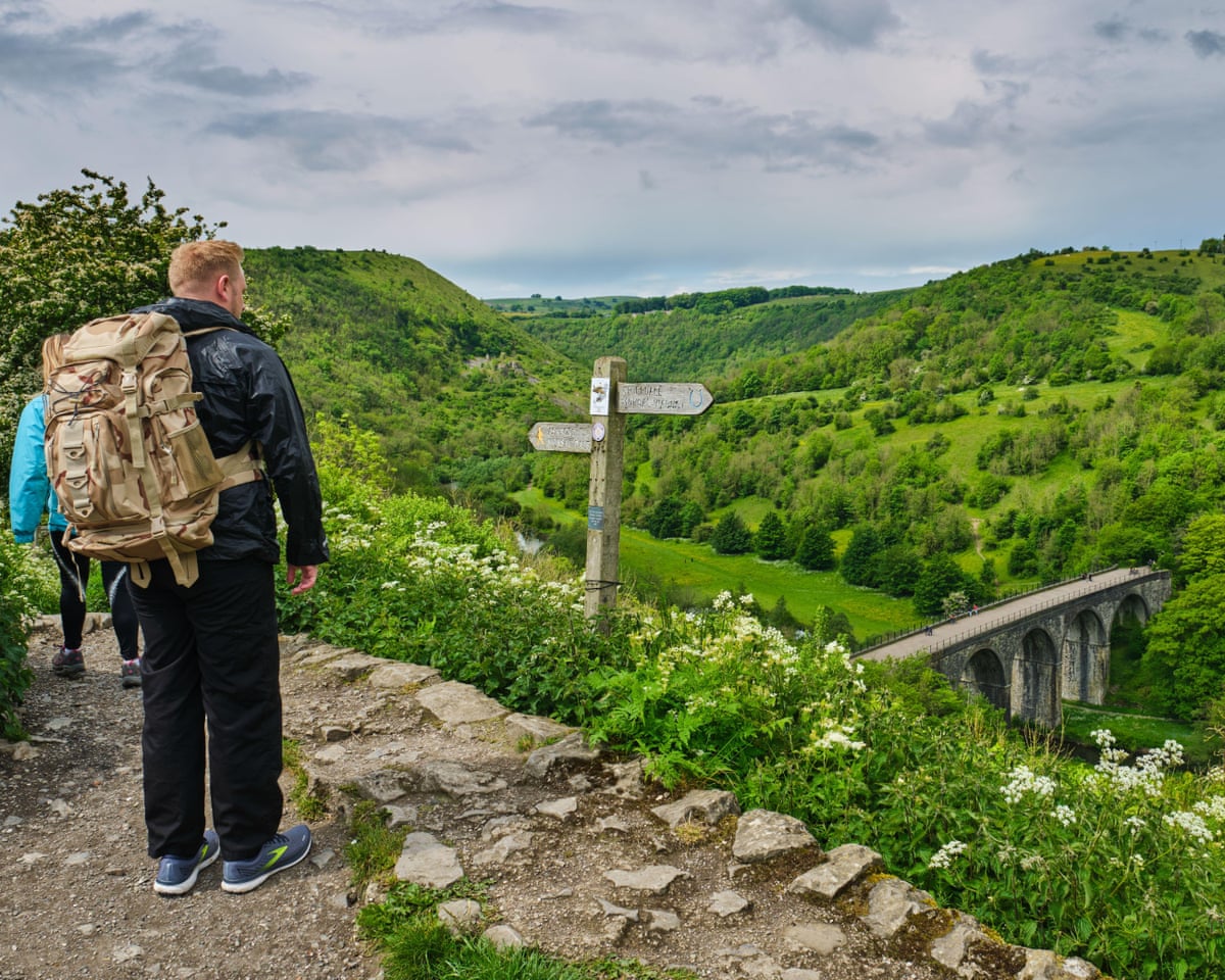
In the Peak District the Monsal Trail runs 8.5 miles from Coombs Road in Bakewell to Blackwell Mill in Chee Dale. The route follows part of a former Midland Railway alignment, passing two large 18th-century cotton mill buildings, through lit tunnels and across the Headstone Viaduct, which overlooks the River Wye and Monsal Dale. Interpretation and listening panels explain the area’s geology, wildlife and industrial past, and a short detour to Monsal Head provides a sweeping view of the viaduct. Walkers and cyclists can pause at the Monsal for a meal or at Hassop Station Cafe, which offers bike rental alongside sandwiches, cakes and weekend wood-fired pizza. monsaltrail.org.uk
The Strawberry Line in Somerset covers 10.7 miles between Yatton railway station and the old Cheddar station. Named for the fruit trains once carried, the route is flat and accessible to walkers, cyclists and wheelchair users. A community-run Strawberry Line Cafe sits beside the station at Yatton and the adjacent Strawberry Line Cycle Project supplies hire bikes and child seats. The path crosses wetlands and grazing land before reaching Axbridge, whose medieval square and the 600-year-old Almshouse Teashop offer local history and refreshments. thestrawberryline.org.uk
Wales’s Mawddach Trail runs 9.5 miles from Marian Mawr car park in Dolgellau to Barmouth viaduct, largely following the Mawddach estuary. The even surface makes the trail suitable for wheelchairs and mobility scooters, and the estuary attracts birds including peregrine falcons, buzzards, curlews and oystercatchers. Near the 150-year-old Penmaenpool wooden toll bridge the George III hotel and pub provides estuary views, while Fork, Cork and Feathers in Dolgellau stocks picnic supplies. Seats and picnic tables are placed along the route. mawddachtrail.co.uk
The Cuckoo Trail in East Sussex stretches 14 miles from Station Road in Heathfield to Hampden Park in Eastbourne. Mostly flat and promoted as a family route, it includes five augmented reality story stops accessed via QR codes, where children can engage with animated wildlife characters, solve puzzles and take themed selfies. Sculptures and wooden seats made from trees felled in the 1987 storm punctuate the trail. The Cuckoo Shack Cafe at Priory Court Farm in Polegate sits on the route but is open only at weekends and during school holidays; a short diversion into Hailsham offers other eating options such as Rustico. wealden.gov.uk
Essex’s Flitch Way runs 15 miles from Braintree station to Start Hill near Bishop’s Stortford, skirting Hatfield Forest and passing Great Notley Country Park with its 1.2km play trail. Rayne Station, about two miles from Braintree, combines the Booking Hall Cafe with a free Railway Carriage Museum and visitor facilities. The Lion and Lamb pub in Little Canfield lies a short detour off the path, and users may spot kestrels, buzzards and brown hares. explore-essex.com
On Merseyside and in Cheshire the Wirral Way covers 12.2 miles from West Kirby railway station to Hooton railway station. One of England’s earliest rail-to-trail conversions, it now functions as a dramatic coastal path along the Wirral Peninsula and incorporates the Wirral Country Park.
Together these routes show how disused rail corridors can be reused to widen access to the outdoors, connect towns and support local services. Readers planning visits can consult the individual trail websites and local centres named above for maps, hire options and opening times.