

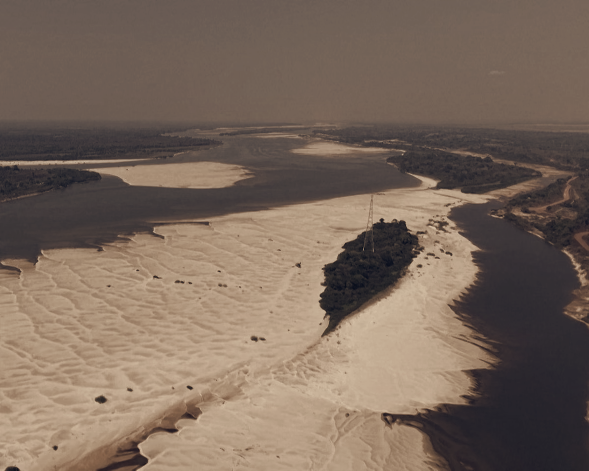
Water levels on the Araguaia River have fallen significantly, a change visible in drone footage shot on 17 September showing stretches of the river drying. The images document a river system under strain as severe drought takes hold in parts of Brazil's northern basin.
The Story in Pictures
The footage focuses attention on the Tocantins-Araguaia basin, which the source material identifies as already experiencing severe drought conditions. Observers and local authorities in the region are confronting clear signs of reduced river flow and expanded dry areas along the channel.
Brazil is also preparing for possible broader climate impacts linked to El Niño, with planning geared toward the late 2026-27 period. That preparation frames the drought on the Araguaia as part of a larger national concern about shifting rainfall patterns and future seasonal risks.
The video record from 17 September adds a visual confirmation to reports of drought across the basin, underscoring the scale of the current dry spell in northern Brazil. While the footage itself does not provide measurements, the images serve as direct evidence of the river’s diminished state at that moment.
What follows next, based on the information available, is continued monitoring of river conditions and uptake of preparedness measures tied to the anticipated El Niño window in late 2026-27. The Tocantins-Araguaia basin’s status as an area already in severe drought makes it a focal point for any interventions or contingency planning announced by authorities.